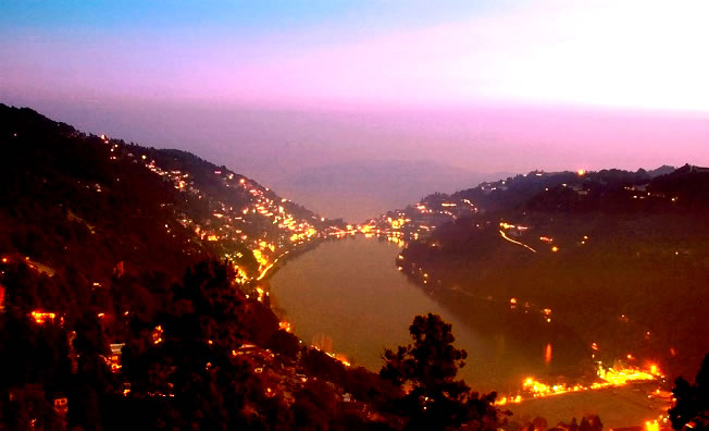
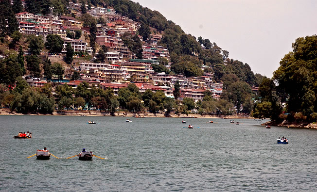
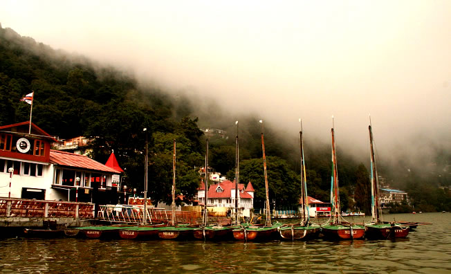
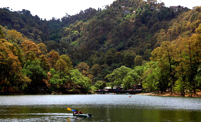
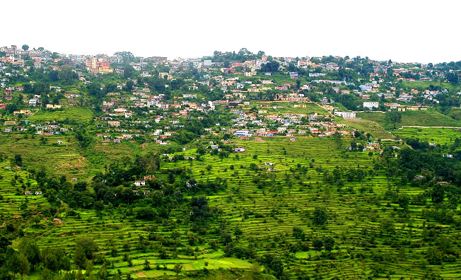
Nainital - About 55kms from Hartola is Nainital, a popular hill station in the Indian state of Uttarakhand and headquarters of Nainital district in the Kumaon foothills of the outer Himalayas. Situated at an altitude of 2,084 metres (6,837 ft) above sea level, Nainital is set in a valley containing a pear-shaped lake, approximately two miles in circumference, and surrounded by mountains, of which the highest are Naina 2,615 m (8,579 ft) on the north, Deopatha 2,438 m (7,999 ft) on the west, and Ayarpatha 2,278 m (7,474 ft) on the south. From the tops of the higher peaks, "magnificent views can be obtained of the vast plain to the south, or of the mass of tangled ridges lying north, bounded by the great snowy range which forms the central axis of the Himalayas.
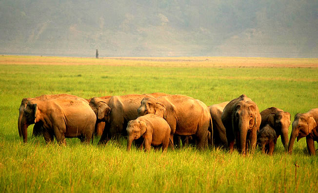
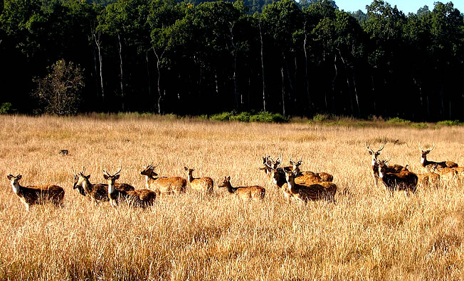
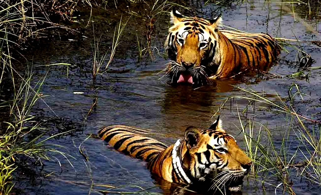
Jim Corbett National Park (120 kms from Hartola) - 29°32′N 78°56′E29.533°N 78.933°E) in the Nainital district is India's oldest national park. The park, which is 63 km (39 mi) west by north-west of Nainital, contains a wide variety of wild life including elephant, tiger, chital, Sambar Deer, nilgai, gharial, King Cobra, muntjac, wild boar, hedgehog, common musk shrew (White-toothed shrew), flying fox (pteropus, megabat), Indian Pangolin, and nearly 600 species of birds.
Mukteshwar - 2,286 m (7,500 ft) is a picturesque town about 45km from Hartola and 52 km north-east of Nainital and is home to the Indian Veterinary Research Institute. It also offers an unhindered view of the high mountains of the western Himalaya, including Nanda Devi, Trisul, and Nanda Kot.
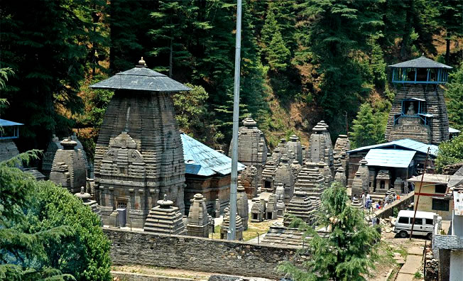
Bhimtal Lake - Situated 75 km from Hartola and 22kms from Nainital, Bhimtal Lake is the biggest lake of Nainital. It is named after the second Pandava brother Bhima in the Mahābhārata who was known for his prodigious strength. The lake, which is larger than Naini Lake, is approximately 22 km (14 mi) from Nainital at an altitude of 1,370 m (4,490 ft). There is an island in the lake with a popular restaurant on it. There is also a 17th century temple complex, the Bhimeshwar, alongside a 40 ft (12 m) high dam at one end of the lake.
Sattal - literally Seven Lakes, is at a distance of about 23 km (14 mi) from Nainital and 75km from Hartola, in the Lower Himalayan Range at an altitude of 1,370 m (4,490 ft). It is a cluster of small interconnected lakes in the midst of an old oak forest. On approaching Sattal, the first lake encountered is the Nal-Damyanti Lake; next it is the Panna or Garude lake; and finally there is a cluster of three lakes: Ram, Laxman, and Sita lakes.
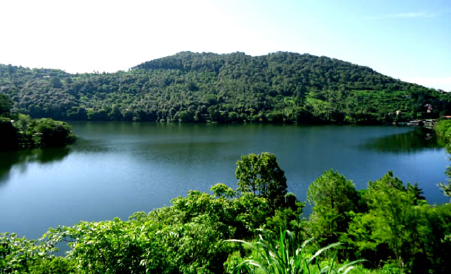
Khurpa Tal - literally Trowel Lake, is an attractive lake about 10 km (6.2 mi) by road or a 5 km (3.1 mi) hike from Nainital at an altitude of 1,635 m (5,364 ft). It is popular with anglers and is surrounded by terraced fields (or farms), from which it presumably gets its name.
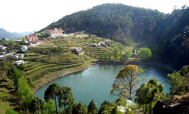
Naukuchia Tal - literally, Nine-Cornered Lake, is 26 km (16 mi) from Nainital and 4 km from Bhimtal and 45kms from Hartola,is at an altitude of 1,220 m (4,000 ft). The lake is almost 1 km (0.62 mi) long, 0.5 km (0.31 mi) wide and approximately 40 m (130 ft) deep. It is the deepest of the lakes in the greater Naintal area. According to legend, if one takes in all nine corners in one glimpse, one can disappear in a cloud of smoke.
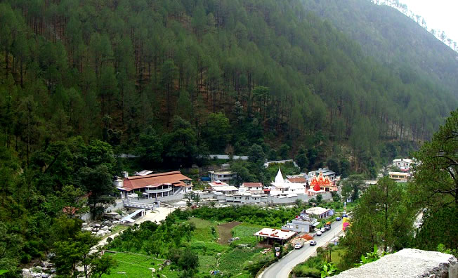
Hanumangarhi - also known as Hanuman Garh, is located at an altitude 1,951 m (6,401 ft). The temple complex is about 3.5 km (2.2 mi) from the Tallital (South End) bus stop. The presiding deity of the temple is Lord Hanuman, the vanara god of the Ramayana, and he is depicted tearing open his chest to reveal Rama and Sita in his heart. It is connected saint Neem Karoli Baba, who had his ashram at Kainchi. Hanuman Garhi is also known for its spectacular views of the setting sun.
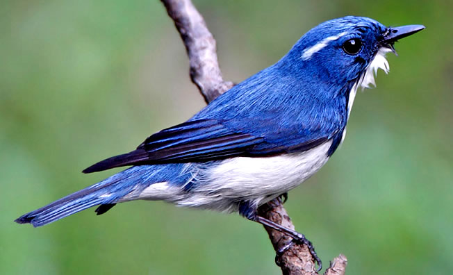
Pangot - a popular bird watching and camping spot, close by.